

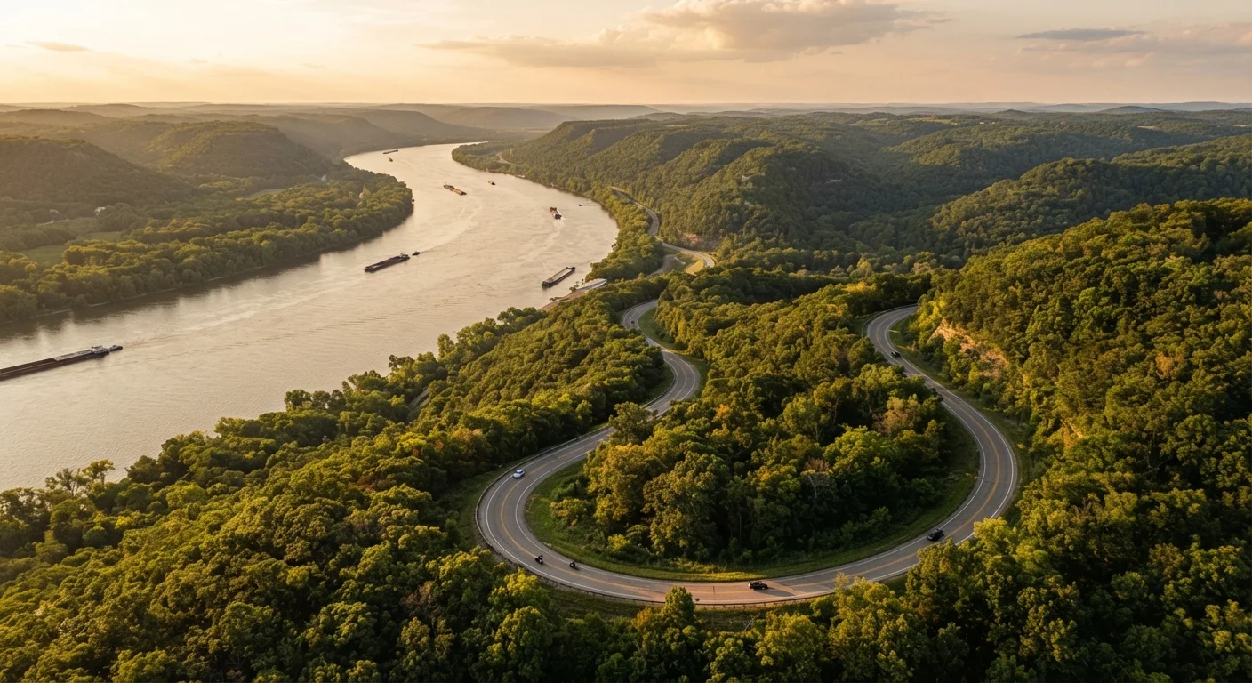
What the Great River Road Actually Is
The Great River Road is a federally designated National Scenic Byway — a network of connected state highways, county roads, and parkways that follows the Mississippi River from its headwaters in northern Minnesota to the Gulf of Mexico in Louisiana. It passes through 10 states, roughly 3,000 miles of road, and an extraordinary sweep of American geography, history, and culture.
Unlike a single highway, the byway is a coordinated system — each state maintains its own segment, marked by those iconic green pilot wheel signs. That means the character of the drive shifts dramatically as you move south: glacially carved bluffs and bald eagle sightings in Minnesota and Wisconsin give way to Civil War history in Illinois and Missouri, Delta blues country in Mississippi, and French Creole architecture near the Louisiana coast.
If you're curious how this route stacks up against other celebrated American drives, our overview of classic U.S. road trip routes puts it in broader context. And for a side-by-side comparison of two very different byway personalities, the Route 66 vs. Blue Ridge Parkway comparison is worth a read before you commit your vacation days.
Use the Green Pilot Wheel Signs as Your Guide
The Great River Road is marked by distinctive green pilot wheel signs along its entire length. When in doubt at an intersection, follow the sign rather than your GPS — mapping apps sometimes route you onto faster interstates that skip the most scenic stretches. Download offline maps as a backup for rural segments with limited cell service.
What You'll Need Before You Start
The Great River Road doesn't require any special gear or permits, but a bit of preparation goes a long way on a route this long and varied.
What you will need
Official Great River Road State Maps
Free printed or digital guides produced by each state's tourism office showing byway routes, points of interest, and services.
Offline Navigation App
Saves downloaded maps for use in rural segments where cell coverage is unreliable.
National Park Annual Pass
Grants entry to federal sites along the route, including Effigy Mounds National Monument in Iowa and Natchez National Historical Park.
Portable Power Bank
Keeps devices charged during long stretches between towns with limited amenities.
Always Verify Road Conditions Before You Go
Sections of the Great River Road run along floodplains that can close seasonally due to high water, construction, or storm damage. Check your state's DOT website and the National Scenic Byways program resources before departing each segment. Conditions can change quickly, especially during spring snowmelt in Minnesota and Wisconsin or hurricane season near the Gulf.
How to Drive It: A Stage-by-Stage Approach
Follow these steps to plan and execute your Mississippi River road trip, whether you're doing the full run or a single-state section.
Choose Your Direction and Scope
Decide whether you're driving the full route or a single-state segment. The complete Minnesota-to-Louisiana journey covers close to 3,000 miles — a serious commitment of two to three weeks if you want to absorb it properly. Many travelers drive one or two states at a time over long weekends. Consider starting from the north in Itasca State Park, Minnesota, where the Mississippi begins as a narrow stream you can practically step across, or pick up the route anywhere along the corridor.
If this is your first long drive, our long-distance road trip planning guide walks through how to structure multi-day itineraries without burning out.
Plan Your Staging Points by State
Break the route into logical overnight hubs. A practical framework for the full drive:
- Minnesota: Itasca State Park → Red Wing → Winona (3–4 days)
- Wisconsin & Iowa: Prairie du Chien → Dubuque → Guttenberg (2–3 days)
- Illinois & Missouri: Galena → Grafton → Cape Girardeau (2–3 days)
- Kentucky, Tennessee & Arkansas: Cairo junction to Memphis (2 days)
- Mississippi & Louisiana: Clarksdale → Natchez → Baton Rouge → New Orleans (3–4 days)
Each region has its own rhythm — bluff country in the north, blues country in the Delta, Creole culture near the Gulf. Plan rest days where the culture pulls you.
Time Your Trip Around Seasonality
Late spring (May–June) and fall (September–October) are generally the most pleasant seasons for the northern half of the route. Summers in the Deep South can be brutally humid. Winter driving in Minnesota and Wisconsin carries real ice risks. The seasonal driving timing guide covers how regional weather patterns affect road conditions across different parts of the country — worth a read before you lock in your dates.
Learn to Read the Byway Signage
The green pilot wheel signs are your primary wayfinding tool. They appear at turns, intersections, and re-entry points after towns. Understand that the byway occasionally splits into two banks of the river — check your state map to confirm which side you're on and whether the other bank offers different attractions. To understand what the National Scenic Byway designation actually means for route planning, see our explainer on what scenic byways really are.
Build In Detour Flexibility
Some of the route's best experiences sit just off the main byway: the Cahokia Mounds State Historic Site in Illinois, the BB King Museum in Indianola, Mississippi, or a ferry crossing in Iowa. Leave buffer days in your schedule so you're not racing through towns. A rigid itinerary is the enemy of a great river road trip.
Arrive in New Orleans and Decompress
The route concludes near the Gulf of Mexico, and New Orleans makes a natural end point with its food, music, and history. Plan at least two nights here — one to recover from the road and one to actually explore. The city rewards slow travel, and after 3,000 miles of river road, you'll have earned it.
River Towns Fill Up Fast on Weekends
Popular stops like La Crosse, Wisconsin, Natchez, Mississippi, and New Orleans book out weeks in advance during fall foliage season and spring festivals. Reserve accommodations at least four to six weeks ahead if you're traveling between September and November or during Mardi Gras season. Last-minute options in smaller river towns can be very limited.
The content on this site is for informational purposes only and is not a substitute for professional advice. Always consult a qualified professional for guidance specific to your situation.