

What Is the Pacific Coast Highway?
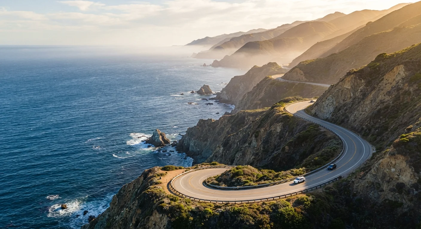
The term "Pacific Coast Highway" gets tossed around loosely, so let's clear it up. Technically, PCH refers to California State Route 1 — a roughly 655-mile highway that threads along the California coastline from Dana Point in Orange County up to Leggett in Mendocino County, where it merges with US-101. The most celebrated segment — the stretch most people picture when they say PCH — runs between Los Angeles and San Francisco, clocking in at around 400 miles through some of the most jaw-dropping coastal terrain in the country.
Highway 1 is a designated All-American Road, the federal government's highest scenic byway designation. That status reflects the route's extraordinary combination of natural drama, cultural history, and sheer visual grandeur. You'll roll past sandy Southern California beaches, through the redwood-draped hills of Big Sur, into the fog-laced villages of the Central Coast, and eventually into the wine country fringe near San Luis Obispo. No two hours of driving look the same.
For context on how the PCH compares to other legendary American drives, see our overview of America's classic road trip routes — it's a useful starting point if you're deciding between iconic options.
Choosing Your Route: South to North or North to South?
Direction matters more than you might think. Driving south to north — Los Angeles toward San Francisco — places the ocean on your right side (the passenger side in the US), which sounds counterintuitive until you realize the driver gets unobstructed cliff-edge views at every turn. It's the approach most seasoned PCH drivers recommend, and it's generally the direction that feels most natural for stopping at pullouts.
That said, driving north to south has its own merit. If you're starting in San Francisco, you'll hit the sparsely populated, misty Mendocino and Sonoma Coast first, easing into the journey before traffic builds around Monterey. Either direction works beautifully — the key is committing to a plan rather than improvising at every junction.
Book accommodations in Big Sur well in advance — ideally two to three months ahead for summer and holiday weekends. There are only a handful of lodges and campgrounds in the entire corridor, and they fill fast.
Big Sur's extreme remoteness and limited infrastructure mean last-minute accommodation searches often come up empty, forcing costly detours to Carmel or Cambria.
Set a hard 'wheels-down' cutoff time each afternoon — ideally before 4 p.m. Driving Highway 1 cliff sections after dark is genuinely stressful and eliminates the views entirely.
The winding two-lane road lacks lighting, and nighttime driving removes the scenic payoff while increasing navigational risk on blind curves and narrow bridges.
Most travelers fly into LAX or SFO and drop their car at the other end, making this a classic point-to-point trip. One-way car rental fees can add up, so factor that into your budget when comparing flight options. Amtrak's Coast Starlight runs parallel to parts of the route if you'd rather train one leg.
Key Stretches You Won't Want to Miss
The PCH is long, and not every mile carries equal weight. Here are the segments that consistently deliver:
- Malibu to Santa Barbara: Wide beaches, iconic surf spots, and the Santa Monica Mountains meeting the sea. This opener sets the tone beautifully.
- Hearst Castle area (San Simeon): The hilltop estate is worth a planned stop. The nearby elephant seal rookery at Piedras Blancas is one of California's most surprising wildlife moments — free to visit and genuinely spectacular.
- Big Sur: The undisputed crown jewel. Roughly 90 miles of sheer cliffs, redwood canyons, and iconic bridges like Bixby Creek. Give this segment an entire day if possible.
- 17-Mile Drive (Pebble Beach): A short private toll road near Monterey offering postcard-worthy cypress trees and ocean views. Worth the modest fee.
- Highway 1 through Bodega Bay to Mendocino: Less visited but stunning — wild, remote, and dramatically foggy, especially in summer mornings.
If you're weighing this kind of coastal grandeur against a completely different American landscape, our comparison of Route 66 and the Blue Ridge Parkway shows just how varied great American road trips can be.
Best Time to Drive Highway 1
Spring (March–May) and fall (September–November) are widely considered the sweet spots. Crowds thin out noticeably after Labor Day and before Memorial Day, coastal wildflowers bloom in spring, and temperatures stay mild — typically 60s to low 70s°F along most of the route. Summer brings peak traffic, especially between Los Angeles and Monterey, and thick morning fog along the northern sections that can reduce visibility significantly.
Winter is underrated: rainfall can be heavy, and Big Sur is most prone to closures after storms, but you'll share the road with almost no one. The light in December and January is extraordinary for photography.
For a deeper look at how seasons affect driving conditions all along the US coast and beyond, our guide on timing seasonal drives across US regions walks through the variables worth tracking before you book.
Big Sur Closures Can Happen Without Warning
Sections of Highway 1 through Big Sur have closed for extended periods following major storms and landslides. Always verify current road status at the official Caltrans website before departing, and build flexibility into your itinerary. A backup route through US-101 (the inland alternative) adds time but keeps your trip moving.
Practical Planning: Road Conditions, Closures, and Logistics
Highway 1 — particularly Big Sur — closes with some regularity due to landslides, rockfalls, and storm damage. Before any trip, check Caltrans QuickMap (dot.ca.gov) for real-time road conditions and closures. Some closures last days; others have historically stretched for months or years. This isn't meant to discourage you — it's just essential homework.
Gas stations are sparse between Cambria and Carmel (the Big Sur corridor). Fill your tank every chance you get. Cell service drops out in Big Sur almost entirely, so download offline maps via Google Maps or Maps.me before you leave. Paper maps aren't a bad backup either.
Budget roughly three to five days for an LA-to-SF drive if you want to stop meaningfully — not just roll through. Rushing the PCH is genuinely one of the most common regrets travelers report. Plan to average 100–150 miles per driving day through Big Sur and the Central Coast.
What to Pack and How to Prepare
The coast can be 20°F cooler than inland areas, and fog rolls in fast. Pack layers regardless of the season — a light fleece or windbreaker is non-negotiable. Sunscreen matters even on overcast days; UV exposure is high near the water.
For the car itself: check tire pressure before you go (mountain road curves put extra wear on tires), make sure you have a working spare, and bring a portable phone charger. A small cooler stocked with snacks and water keeps you moving without relying on services that may not exist around the next bend.
If you're extending your adventure to the Pacific Northwest after San Francisco, our look at the Pacific Northwest Cascade Loop can help you plan what comes next.
The PCH rewards the prepared and the patient. Know when to pull over, turn the engine off, and simply look. That's the whole point.
The content on this site is for informational purposes only and is not a substitute for professional advice. Always consult a qualified professional for guidance specific to your situation.