

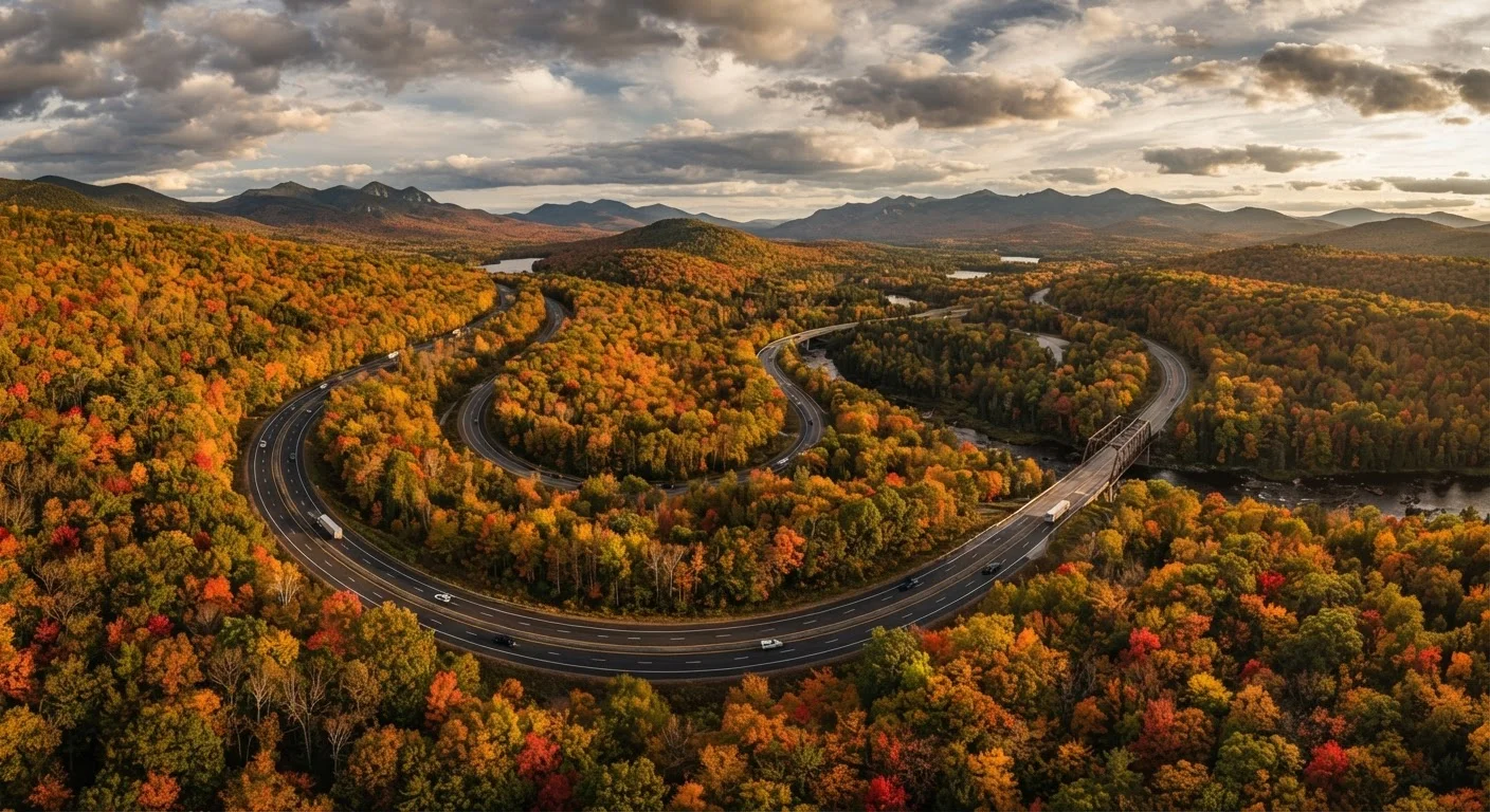
Why Timing Your Drive Matters More Than You Think
Most people plan road trips around vacation schedules or personal calendars — and that's completely understandable. But the calendar and the climate don't always agree. A route that's breathtaking in October might be treacherous in November, and a desert drive that's manageable in April can become genuinely risky by July. Seasonal timing shapes not just what you see out the window, but whether certain roads are open at all.
This isn't about fear — it's about awareness. The US has an extraordinary range of climates packed into one country, and that diversity is part of what makes domestic road trips so rewarding. Understanding the seasonal personality of each region puts you in control of your experience rather than at the mercy of it. See our overview of America's classic road trip routes for a broader look at what makes each corridor distinct.
3.9M+
Miles of public roads in the US
According to the US Department of Transportation, the American road network spans approximately 3.9 million miles, covering vastly different climate zones.
~21%
US roads affected by weather annually
The Federal Highway Administration estimates that roughly 21% of all vehicle crashes are weather-related, underscoring the importance of seasonal planning.
70°F+
Temperature swing between regions in winter
On a single January day, temperatures can range from below zero in Montana to over 70°F in Southern Arizona — a reminder that 'winter driving' means very different things across the US.
The Pacific Coast and Pacific Northwest: Fog, Rain, and Perfect Summers
California's Highway 1 and the Pacific Coast Highway are among the most visually dramatic drives in the country — but the Pacific Coast climate plays by its own rules. Late spring through early fall is the sweet spot for most drivers. Summer mornings often bring marine fog along the Northern California and Oregon coasts, which typically burns off by midday. Winter months bring heavier rainfall, and low-lying sections of Highway 1 are periodically closed due to mudslides or erosion — conditions worth verifying through state DOT sources before you depart.
The Pacific Northwest — Washington and Oregon inland routes — is wetter overall, with the Cascade mountain passes subject to snow and chain requirements from late fall through spring. Summer opens up stunning high-elevation drives that are simply inaccessible the rest of the year. Learn more about what to expect on the Pacific Coast Highway before building your itinerary.
The American Southwest: Heat Windows and Flash Flood Season
Few American landscapes are as awe-inspiring as the canyon country of Utah, Arizona, and New Mexico — and few are as unforgiving to the underprepared driver. Spring (March through May) and fall (September through November) are the widely recognized sweet spots: temperatures are manageable, desert wildflowers may be in bloom, and the light is extraordinary. Summer temperatures regularly exceed 110°F in lower elevation areas, putting real strain on vehicle cooling systems and making any breakdown a safety concern rather than a mere inconvenience.
The Southwest's monsoon season, which runs roughly from July through September, introduces a different hazard: flash flooding. Dry desert washes can fill with fast-moving water within minutes of a storm miles away. Roads through canyon country and low desert passes can become impassable without warning. Always check weather forecasts for the broader region, not just your exact location. For deeper planning guidance, our article on Southwest road trips by car covers key corridors and preparation tips.
Check Conditions Beyond Your Starting Point
Desert and canyon weather is highly localized. A clear sky at your trailhead or campsite doesn't mean the road ahead is safe. Before any Southwest drive, check the National Weather Service forecast for every county along your route, not just your origin. The NWS issues flash flood watches and warnings that are worth taking seriously even on sunny mornings.
The Mountain West and Rockies: Elevation Changes Everything
High-elevation routes through Colorado, Wyoming, and Montana introduce a wild card that flat-landers sometimes underestimate: altitude. At 10,000 feet, summer afternoon thunderstorms are common, and snow is possible in every month of the year on the highest passes. Many iconic mountain roads — including portions of Rocky Mountain National Park's Trail Ridge Road — close entirely during winter and don't reopen until late May or June, depending on snowpack.
Summer (June through August) is the primary open season, but it's also the busiest. Popular parks and scenic corridors can see significant congestion, and timed-entry reservation systems have become increasingly common at high-traffic sites. Early September offers a compelling alternative: crowds thin, aspen groves begin to turn gold, and most roads remain accessible. Pair your mountain drive planning with our guide to national parks along road trip corridors to build a fuller itinerary.
The Southeast and Appalachians: Leaf Season, Humidity, and Hurricane Risk
The Blue Ridge Parkway and surrounding Appalachian routes are among the most accessible scenic drives in the country — open to most vehicles, relatively close to the Eastern Seaboard's population centers, and genuinely beautiful across multiple seasons. Fall foliage (typically peak from mid-October through early November at lower elevations) draws significant traffic, so mid-week driving is worth planning for if you want a more relaxed pace.
Summer in the Southeast brings heat and high humidity, which can create hazy mountain views and afternoon thunderstorms. The bigger seasonal concern for coastal and lowland Southeast routes is hurricane season, which runs from June through November. Coastal drives in Florida, the Carolinas, and the Gulf states can be disrupted or made genuinely dangerous during active storm periods. Monitoring the National Hurricane Center's advisories is a straightforward precaution during those months. Our comparison of Route 66 vs. the Blue Ridge Parkway offers useful context for planning either drive. For more on adapting your driving style to seasonal hazards wherever you are, see our guide on safe driving in all four seasons.
Frequently Asked Questions
Late spring and early fall generally offer the mildest conditions across most US regions, with lower chances of extreme heat, ice, or flooding. However, 'safe' varies by destination — the Pacific Northwest is rainiest in winter while the Southeast sees hurricane risk in late summer and fall. Always check regional forecasts and road advisories before you go.
Several high-elevation and mountain routes see seasonal closures or chain controls in winter. The Blue Ridge Parkway closes certain sections during ice and snow events. Rocky Mountain roads like Trail Ridge Road in Colorado close entirely from mid-fall through late spring. Always check the National Park Service or state DOT websites for current closure status.
Extreme summer heat in desert regions like the Southwest can reach well above 110°F, straining vehicle cooling systems and making roadside breakdowns genuinely dangerous. Tires are also at higher blowout risk on super-heated asphalt. Many experienced desert drivers plan to cover ground in the early morning and rest during peak afternoon heat.
Yes — the same rainfall intensity creates very different hazards by region. In the Pacific Northwest, wet mountain curves demand cautious speeds year-round. In the Southeast, summer thunderstorms can cause rapid flash flooding on low-lying roads. Our article on <a href="/cars-driving/driving-safety/driving-in-rain-where-american-drivers-most-often-go-wrong">driving in rain</a> covers common technique mistakes worth reviewing before any wet-weather drive.
Late spring through early fall is generally considered the most reliable window for a Pacific Coast Highway drive. Summer brings fog in the mornings (especially in Northern California) but roads remain open and accessible. Winter rain and occasional mudslides can close Highway 1 segments; check Caltrans advisories before traveling.
Each state's Department of Transportation (DOT) website provides current road conditions, closures, and weather advisories. The National Park Service publishes closure information for park roads. For long multi-state drives, the Federal Highway Administration's 511 system offers road condition information by phone or online in most states.
The content on this site is for informational purposes only and is not a substitute for professional advice. Always consult a qualified professional for guidance specific to your situation.